Search for Hotels in the city you want
Browse a list of top hotels in city you want curated by our team of travel experts. You can also compare prices, amenities, and guest reviews for each hotel, making it easy to find the best option for your budget and preferences
- Cities
- {{item.fullName}}
Hotels near Brussels, Belgium
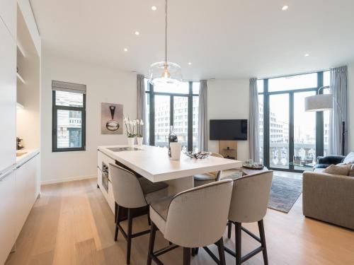
In this table you will find all the hotels located in and near Brussels, Belgium with data for each Hotels
| room img | hotel | location | settings |
|---|---|---|---|
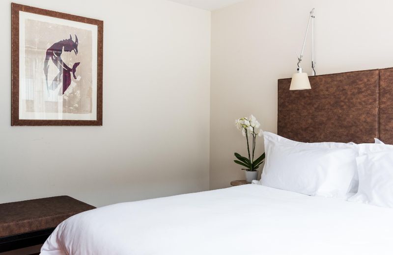 |
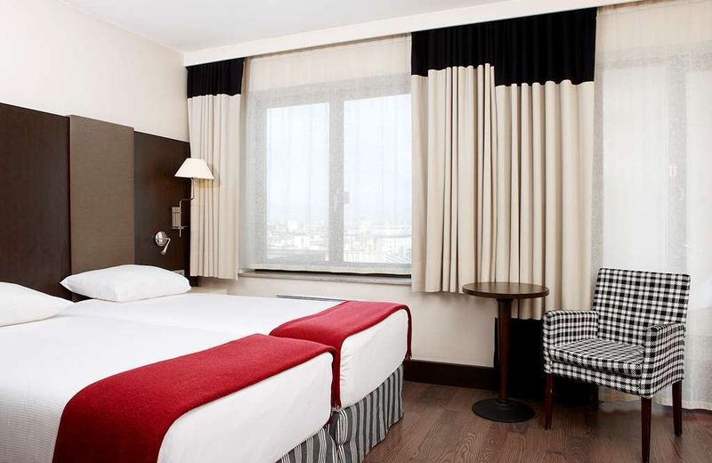
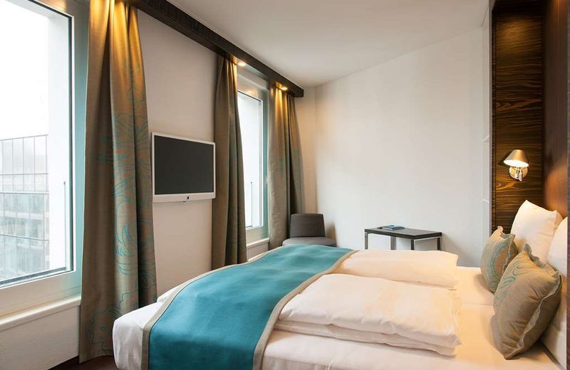
Hotel Sandton Brussels Centre | 50.8471 , 4.35947 | |
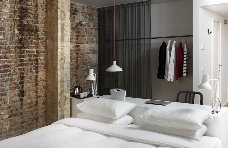 |
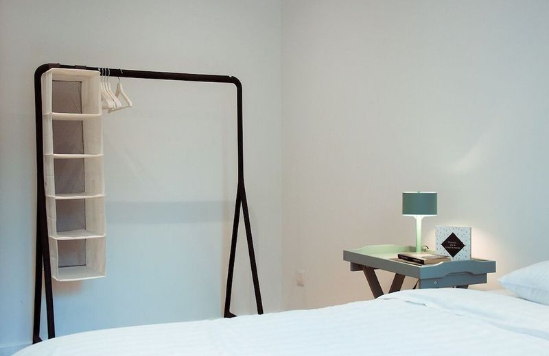
9Hotel Central | 50.84653 , 4.35925 | |
 |
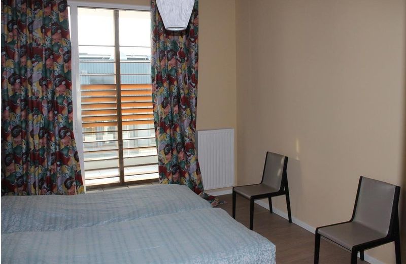
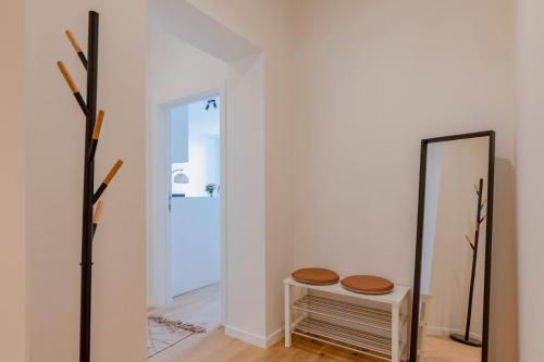
Iris Residence | 50.84651 , 4.359 | |
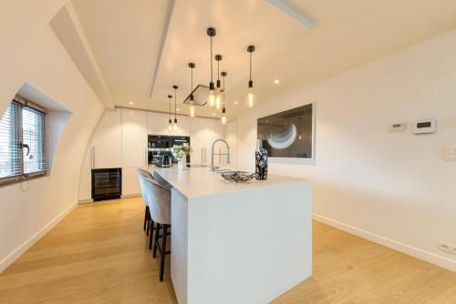 |
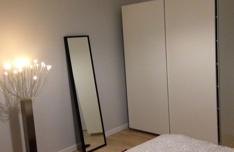
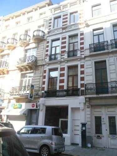
Triplex penthouse in the city center | 50.84651 , 4.359 | |
 |
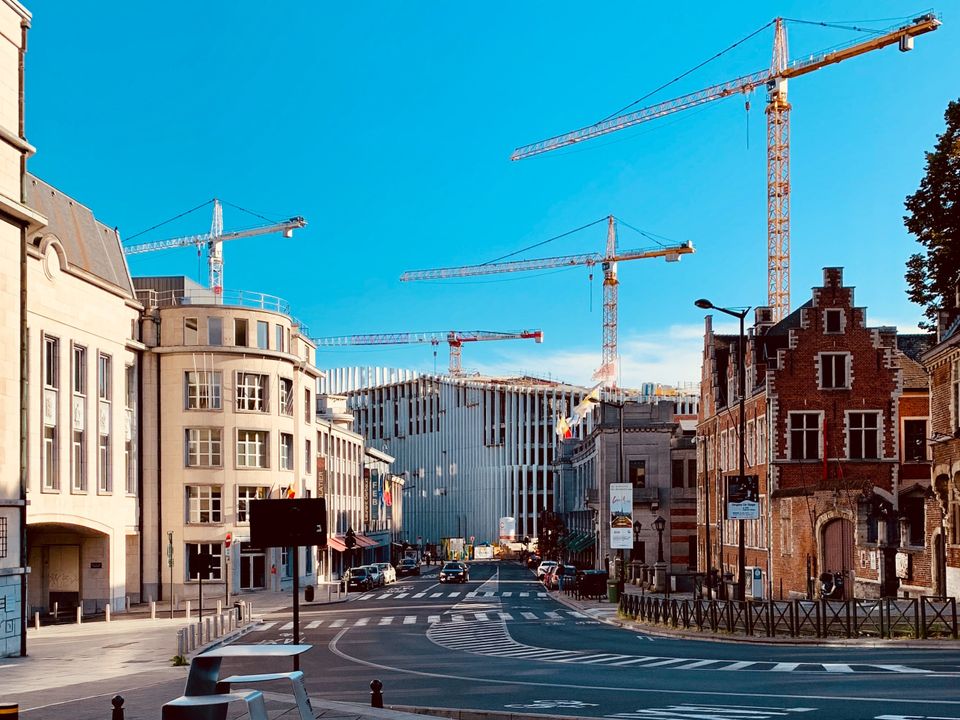
Iris Residence | 50.846359 , 4.359389 | |
 |
NH Brussels Grand Place Arenberg | 50.84847 , 4.35745 | |
 |
Smartflats - Central Brussels | 50.84791 , 4.35717 | |
 |
Residence Congres | 50.849373 , 4.362066 | |
 |
B&B Room Center Brussels | 50.847808 , 4.356956 | |
 |
Apartment in the heart of Brussels: Grand Place/EU | 50.849404 , 4.362056 | |
 |
Motel One Brussels | 50.848687 , 4.363129 | |
 |
Arenberg Home Apartment | 50.848095 , 4.356771 | |
 |
Center Royal Residence | 50.84857 , 4.36347 | |
 |
BEAT apartments | 50.84803 , 4.36374 | |
 |
GRAND PLACE | 50.848139 , 4.363729 |
Information about Brussels
full Name : Brussels, Belgium
hotels Count : 1411
latitude : 50.847822
longitude : 4.36011
Useful links for Brussels , Belgium
You will find more useful links that will help your journey
Read More about Hotels
- Find the perfect accommodations for your next trip to any city you want. Howmanyhours partners with top providers to showcase a user-friendly platform to search for hotels by location and timezone.
- Browse a list of top hotels in any city you want. curated by our team of travel experts. You can also compare prices, amenities, and guest reviews for each hotel, making it easy to find the best option for your budget and preferences. Whether traveling for business or pleasure to any city you want., we help make the hotel booking process stress-free and enjoyable