Search for Hotels in the city you want
Browse a list of top hotels in city you want curated by our team of travel experts. You can also compare prices, amenities, and guest reviews for each hotel, making it easy to find the best option for your budget and preferences
- Cities
- {{item.fullName}}
Hotels near Stamford, Connecticut, United States
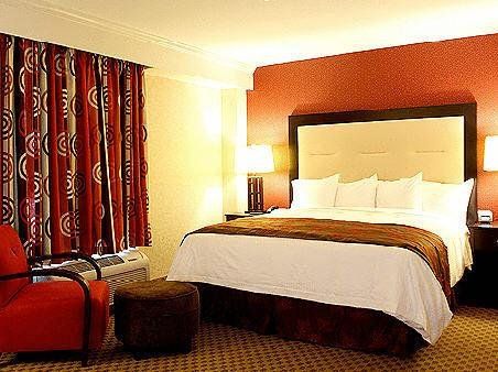
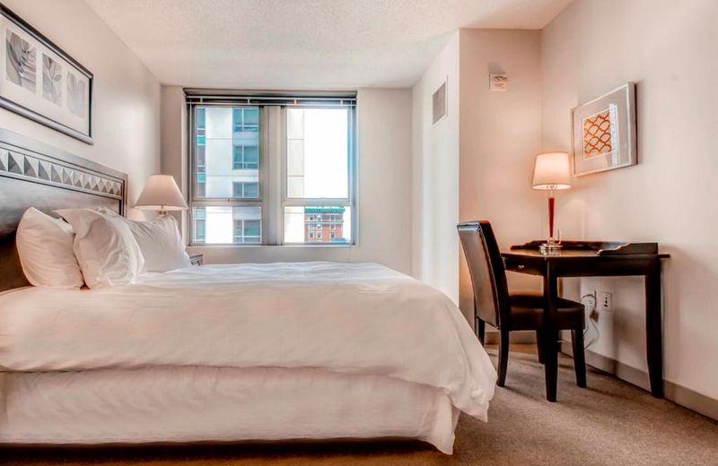
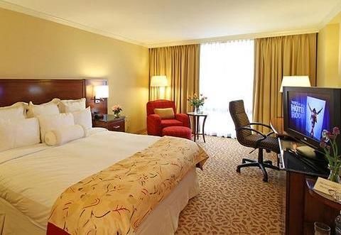
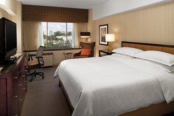
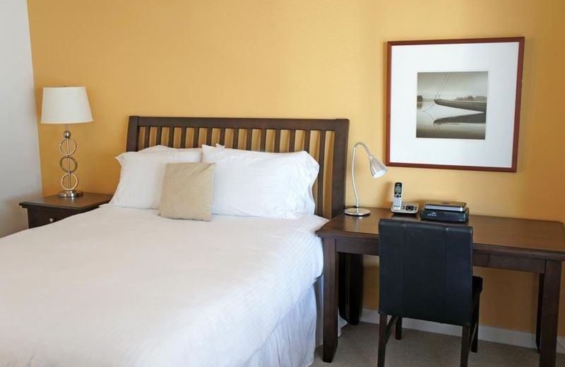
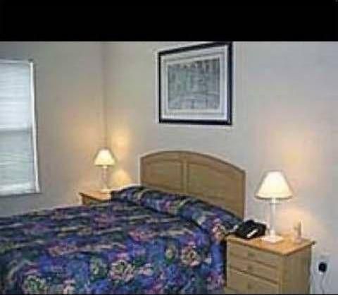
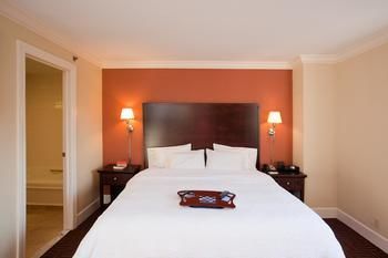
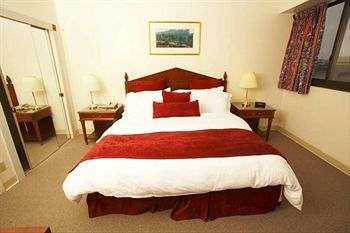
In this table you will find all the hotels located in and near Stamford, Connecticut, United States with data for each Hotels
| room img | hotel | location | settings |
|---|---|---|---|
 |
Residence Inn by Marriott Stamford Downtown | 41.05479 , -73.53931 | |
 |
Global Luxury Suites at Summer Street | 41.05342 , -73.541 | |
 |
Courtyard by Marriott Stamford Downtown | 41.05501 , -73.54048 | |
 |
The Lloyd Stamford, Tapestry Collection by Hilton | 41.05233 , -73.54199 | |
 |
Global Luxury Suites at Broad Street | 41.05563 , -73.53507 | |
 |
Stamford Marriott Hotel & Spa | 41.05098 , -73.535 | |
 |
Churchill At The Boulevard | 41.056677 , -73.542196 | |
 |
Global Luxury Suites at Downtown Stamford | 41.056978 , -73.542073 | |
 |
The BLVD | 41.056793 , -73.542816 | |
 |
The Stamford Hotel | 41.05427 , -73.53242 | |
 |
FURNISHED QUARTERS AT THE VERANO | 41.058375 , -73.540186 | |
 |
si tan fu shi zhong xin quan qiu she hua tao fang jiu dian | 41.05881 , -73.53621 | |
 |
OAKWOOD AT PARC GROVE | 41.0566 , -73.5452 | |
 |
Hampton Inn & Suites Stamford | 41.05326 , -73.54662 | |
 |
Stamford Suites | 41.0601 , -73.53781 |
Information about Stamford

full Name : Stamford, Connecticut, United States
hotels Count : 44
latitude : 41.05343
longitude : -73.538734
Useful links for Stamford , United States
You will find more useful links that will help your journey

Read More about Hotels
- Find the perfect accommodations for your next trip to any city you want. Howmanyhours partners with top providers to showcase a user-friendly platform to search for hotels by location and timezone.
- Browse a list of top hotels in any city you want. curated by our team of travel experts. You can also compare prices, amenities, and guest reviews for each hotel, making it easy to find the best option for your budget and preferences. Whether traveling for business or pleasure to any city you want., we help make the hotel booking process stress-free and enjoyable