Search for Hotels in the city you want
Browse a list of top hotels in city you want curated by our team of travel experts. You can also compare prices, amenities, and guest reviews for each hotel, making it easy to find the best option for your budget and preferences
- Cities
- {{item.fullName}}
Hotels near Iguacu, Brazil
In this table you will find all the hotels located in and near Iguacu, Brazil with data for each Hotels
| room img | hotel | location | settings |
|---|---|---|---|
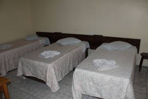 |
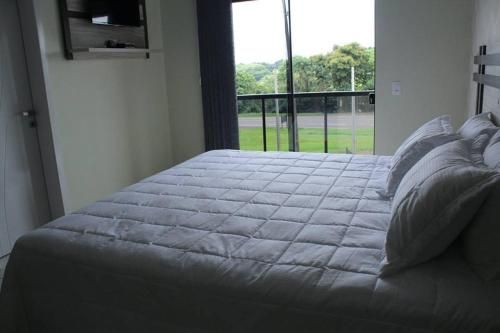
Sandro Hotel | -25.40642 , -52.41351 | |
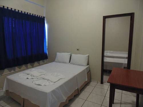 |
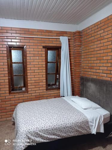
Hotel Lipski | -25.40255 , -52.40849 | |
 |
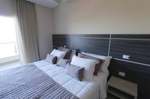
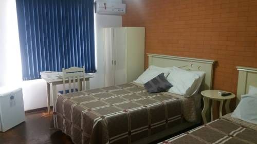
Laranjeiras Palace Hotel | -25.39828 , -52.41259 | |
 |
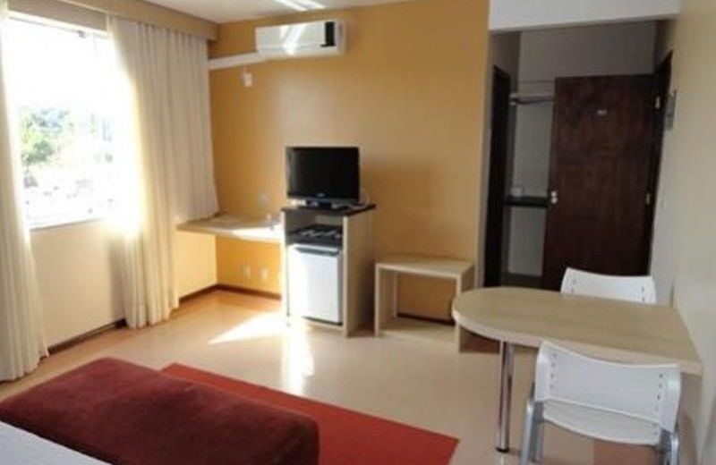
Casa Bahia | -25.40444 , -52.40465 | |
 |
Garda Hotel | -25.3966 , -52.4064 | |
 |
Hotel Palmeiras | -25.3775 , -52.39659 | |
 |
Reva's Restaurante - Hotel | -25.37685 , -52.13052 | |
 |
Reva's Restaurante - Hotel | -25.37685 , -52.13052 | |
 |
Hotel e Camping Espaço Verde Pousada | -25.38027 , -52.12089 | |
 |
Hostel Na Roça | -25.71183 , -52.68141 | |
 |
Casa/chalé Ubatuba Naturals | -25.25209 , -52.02154 | |
 |
Hotel Senador Distributed by Ameris | -25.44306 , -52.89678 |
Information about Iguacu

full Name : Iguacu, Brazil
hotels Count : 20
latitude : -25.40778
longitude : -52.41611
Useful links for Iguacu , Brazil
You will find more useful links that will help your journey
Read More about Hotels
- Find the perfect accommodations for your next trip to any city you want. Howmanyhours partners with top providers to showcase a user-friendly platform to search for hotels by location and timezone.
- Browse a list of top hotels in any city you want. curated by our team of travel experts. You can also compare prices, amenities, and guest reviews for each hotel, making it easy to find the best option for your budget and preferences. Whether traveling for business or pleasure to any city you want., we help make the hotel booking process stress-free and enjoyable