Read about the Features of HowManyHours
Read about the Features of HowManyHours can plan your trip with ease. Whether you are traveling for business or pleasure, our website will help you save time and make the most of your journey
specific informations
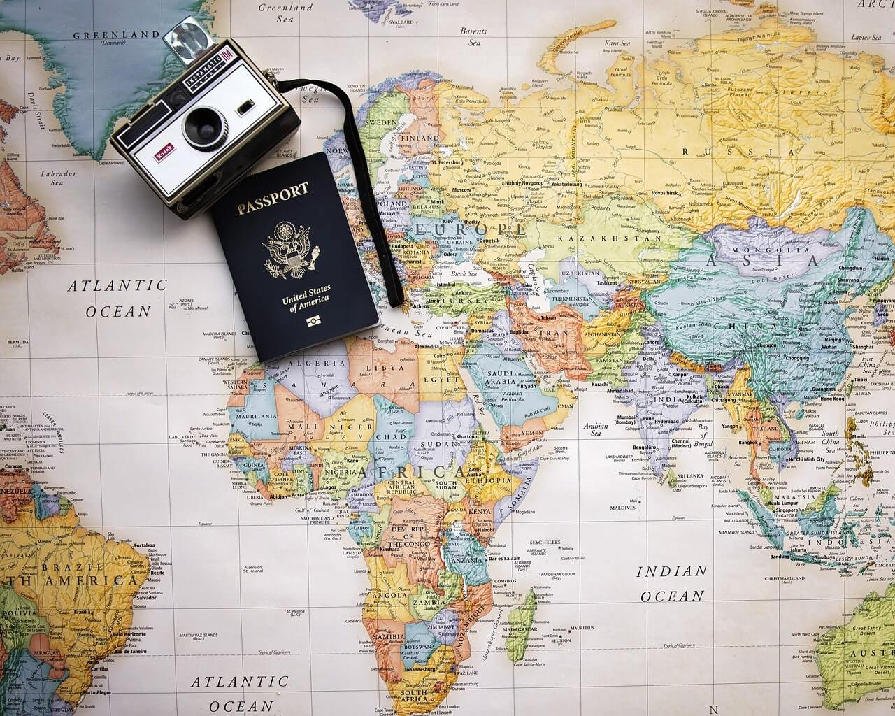
Our database includes information on distances between cities, airports, and countries, so you can plan your trip with ease. Whether you are traveling for business or pleasure, our website will help you save time and make the most of your journey.
Huge database
Search for distances between any two locations with just a few clicks Compare distances between different routes Browse a database of distances for various cities, airports, hotels and countries
A search widget
Dont waste any more time researching distances on multiple websites. howmanyhours has everything you need in one convenient location. Start planning your next trip today with howmanyhours. Please let us know if you need any more help or if you want to add or change some things in the content.